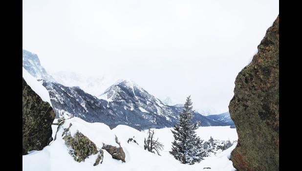
SNOW-MAGEDDON
The weather experts weren’t very far off their predictions for massive snowfall and near-impossible travel conditions late last week and into the weekend.
Two different storms hit the area last week, with snow starting on Thursday, Dec. 28, and finally tapering off Saturday night, Dec. 30. When the fluff settled, 12.8 inches of the white stuff had blanketed Columbus during that three-day period. It also put the month’s total snowfall at an impressive 28.9 inches, making it the snowiest December on record, said Tom Frieders, a warning coordination meteorologist for the National Weather Service (NWS) in Billings. The old record was set last year at 25.3 inches.
Mystic Lake got 17.5 inches of new snowfall during those same three days, putting the December 2016 total at 58 inches. Rapelje saw 11 inches of snow from the recent dump, and finished December with 31 inches of snowfall.
NWS issued a special snowfall total report for the Dec. 28 through Dec. 30 period, which is detailed below under "By The Numbers."
SNOWIEST START TO WINTER
With 46.6 inches of snowfall already recorded this year in Columbus, it’s the snowiest start to a winter since 1950, said Frieders. It’s the same story at Mystic Lake with 153.2 inches of snow so far. That beats the old record of 104.9 inches in 2009, said Frieders. Rapelje’s total of 48 inches is tied for the second snowiest start to a winter.
NWS yearly totals run from July 1 to June 30.
ON THE ROADS
As predicted, the roads were dangerous, due mainly to reduced visibility caused by blowing snow and passing traffic. Between Friday and Saturday, at least 24 crashes were reported to the Stillwater County Sheriff’s Office dispatch.
By 7:40 a.m. on Saturday, Dec. 30, the Montana Department of Transportation (MDOT) had issued a Severe Driving Condition status for I-90 from Reed Point to Springdale. Road conditions at that time were listed as snowpacked and icy. It was also snowing heavily with high winds, which created drifting and poor visibility.
At 9:39 a.m., severe driving conditions with a “High Priority Condition” was issued for Big Timber to Reed Point. At 10:36 a.m., a severe condition alert was issued for the junction of Highway 78 to the I-90 junction in Columbus and from Columbus to Park City at 10:36 a.m. That was in effect until 3:10 p.m. At 10:37 a.m., a severe driving conditions alert was issued from Reed Point to Columbus. That alert was cancelled at 12:28 p.m.
Poor visibility was a factor in a double semi crash late Saturday morning, eight miles east Columbus in which one semi rear-ended the other one in the eastbound lane on I-90. Both the driving and passing lanes were blocked until 2:59 p.m.
On Tuesday, Jan. 2, severe driving conditions were reported at 3:28 a.m. between Reed Point and Big Timber, according to MDOT.
ICE CONCERNS
As if heavy snowfall, wind and brutal below zero temperatures were not enough to deal with, early this week the NWS urged people to be mindful of ice jams on larger rivers and smaller bodies of water that formed rapidly last week.
“This weather scenario during rapid freeze ups can produce local ice jams and water rises,” said Frieders on Tuesday. “We expect these concerns to diminish in the coming days as the ice on rivers stabilizes.”
BY THE NUMBERS
The following show snowfall amounts for the specific locations recorded from 5 p.m. on Dec. 28, through the times and date listed for each location, according to the National Weather Service. SW stands for southwest, S stands for south, etc.:
Fishtail (18.1 SW) 4 PM Sat. 13.5 inches
Park City (5 S) 11 AM Sat. 11.5 inches
Rapelje 8 AM Sun. 11.5 inches
Columbus (7.2 E) 7 AM Sun. 10.3 inches
Park City (6 WSW) 4 PM Sat. 9.6 inches
Absarokee (.6 S) 8 AM Sun. 8.9 inches
Reed Point (5 (SE) 6 AM Sun. 8.9 inches
Columbus (7.5 E) 7 AM Sun. 8.5 inches
Columbus (.9 NW) 8 AM Sun. .4 inches
Molt (5.7 SSW) 7 AM Sun. 6.6 inches
Park City (.5 S) 7 AM Sun. .5 inches
YEAR TO DATE SNOWFALL
•In Columbus, December 2016’s 25.3. inches of snowfall was more than 3.5 times the normal amount for December. At this point last year, year-to-date snowfall was 32.4 inches. Current year-to-date snowfall is at 46.6 inches.
•At Mystic Lake, December 2016’s 44.5 inches of snowfall was more than three times the normal amount for the month. At this point last year, year-to-date snowfall was 81.5 inches. Current year-to-date snowfall is at 153.2 inches.
•In Rapelje, December 2016’s 13.9 inches of snowfall was more than 3.5 times above the normal amount for the month. At this point last year, year-to-date was 20.9 inches. Current year-to-date snowfall is at 48 inches.

